
Northern Cape · South Africa
The Kalahari Red Dune Route
Thirty-nine farms, lodges and camps. Find one, talk to them yourself.
Scroll — the day starts here
First light
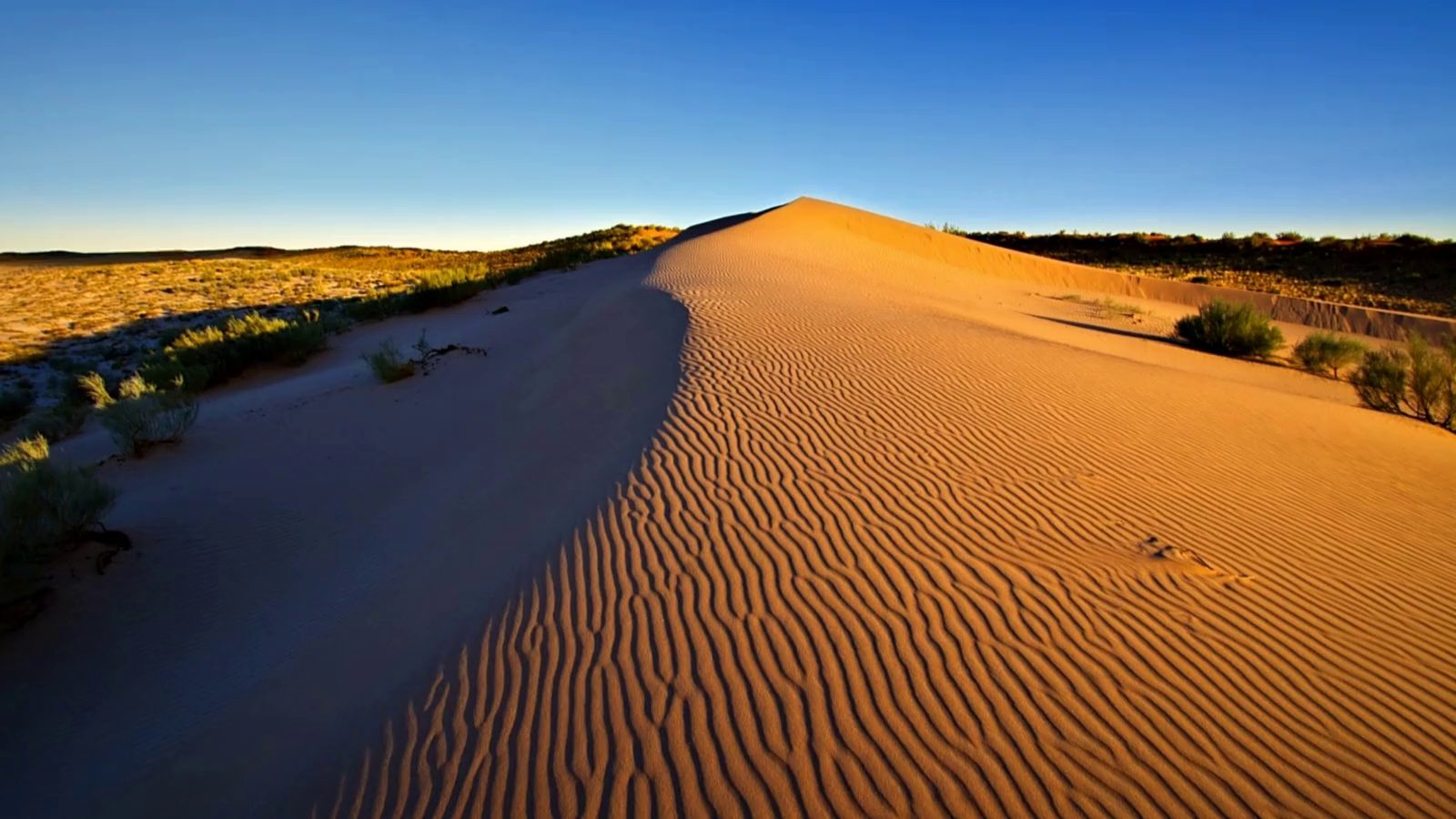
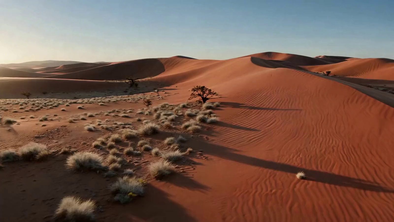
The dunes all run the same way, and they have for a very long time
Wind laid them down in long parallel streets across the southern Kalahari, and the road runs up the middle of them — about three hours of it, from the last tar to the park gate.
Sunrise
One road, one association, and thirty-nine front doors
39Places to stay,
eat or be shown around
eat or be shown around
18Things to do,
each run by someone here
each run by someone here
255Kilometres of R360,
Upington to the gate
Upington to the gate
34Reachable on WhatsApp
in one tap
in one tap
Morning
This ancient and beautiful land is not one place
Red dunes and dry riverbeds, open spaces, star-studded nights and camelthorn trees. It reflects an endless variety of moods, and each encounter is refreshingly different from the last.
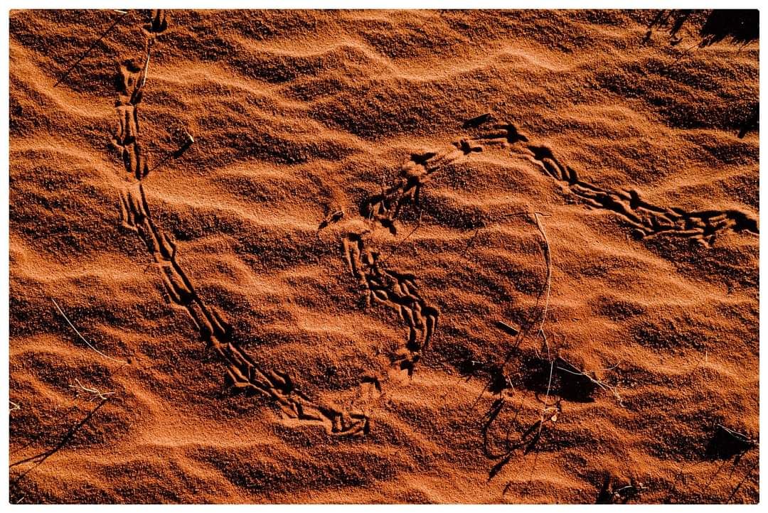
Why it is red. Iron oxide in the sand — the same iron that gives the satellite map at the foot of this page its colour.
From a grass hut to a lodge with a landing strip
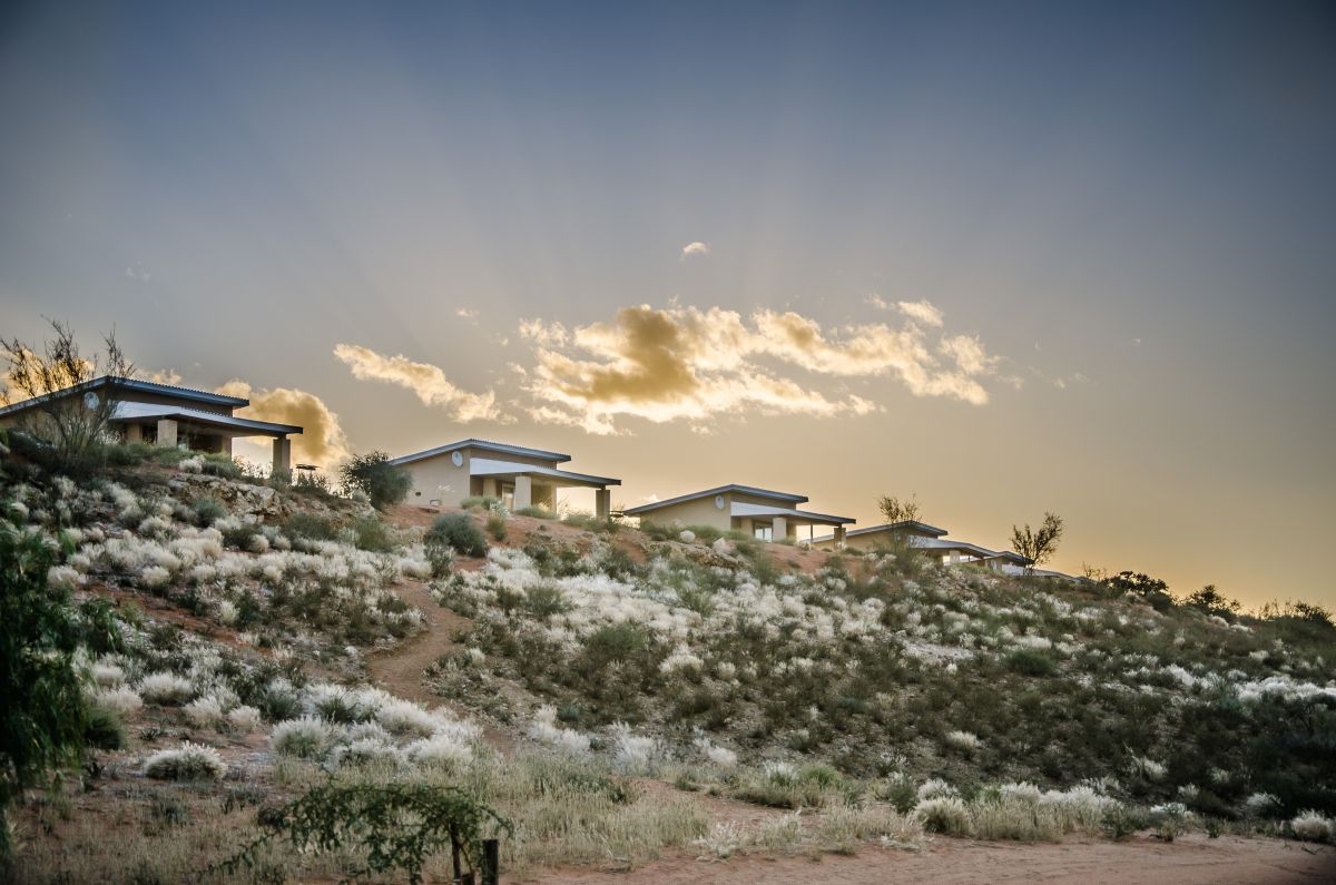
Kgalagadi Lifestyle Lodge
Thirty-three chalets, a restaurant and a store — five kilometres from the gate
6 km to the gateSelf-cateringCamping+4
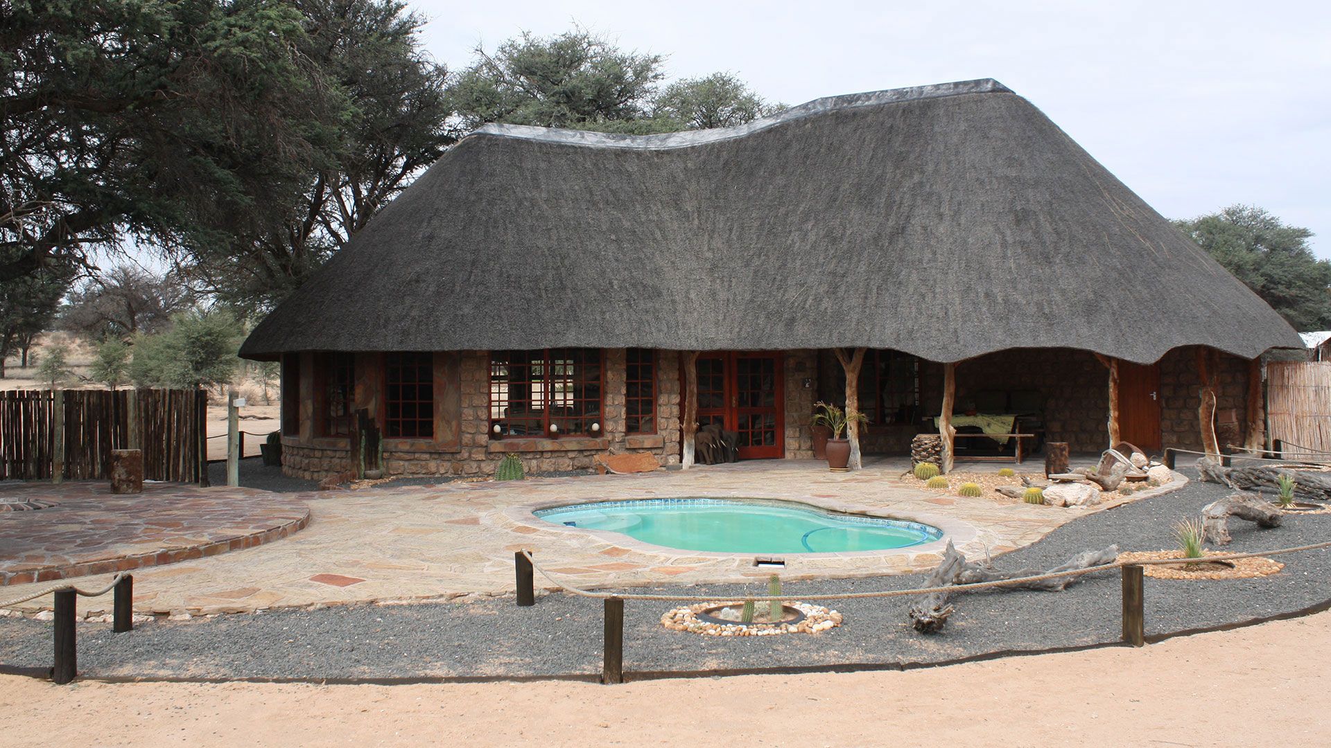
Torgos Lodge
Stone and tented chalets seven kilometres short of the Mata Mata gate
131 km to the gateSelf-cateringCamping+1
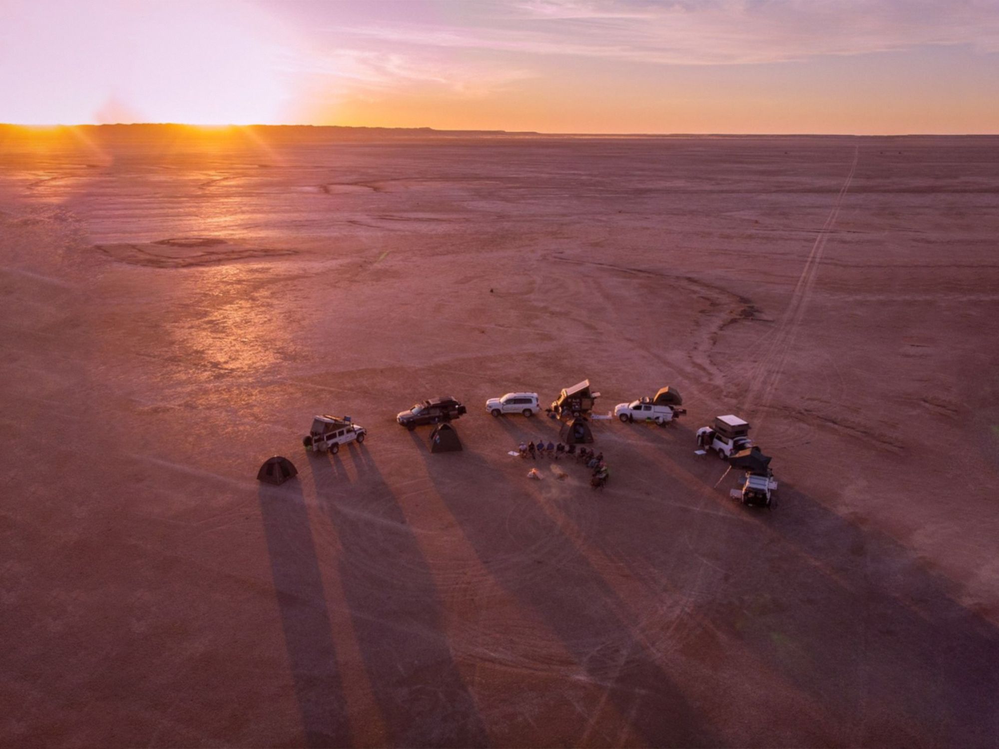
Koppieskraal Camel Farm
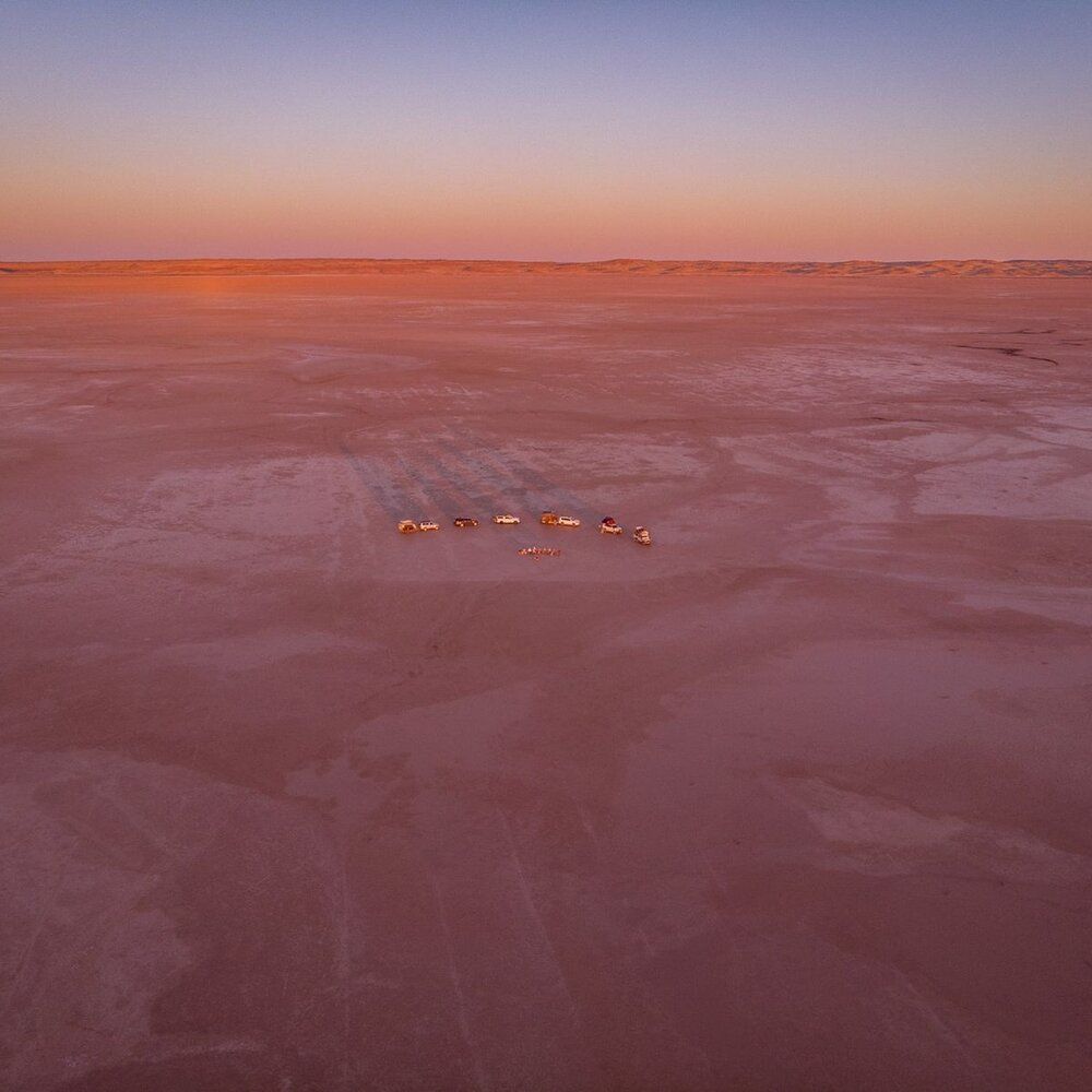
Camping on ten thousand hectares of salt pan, surrounded by nothing at all
112 km to the gateCampingDark skies+1
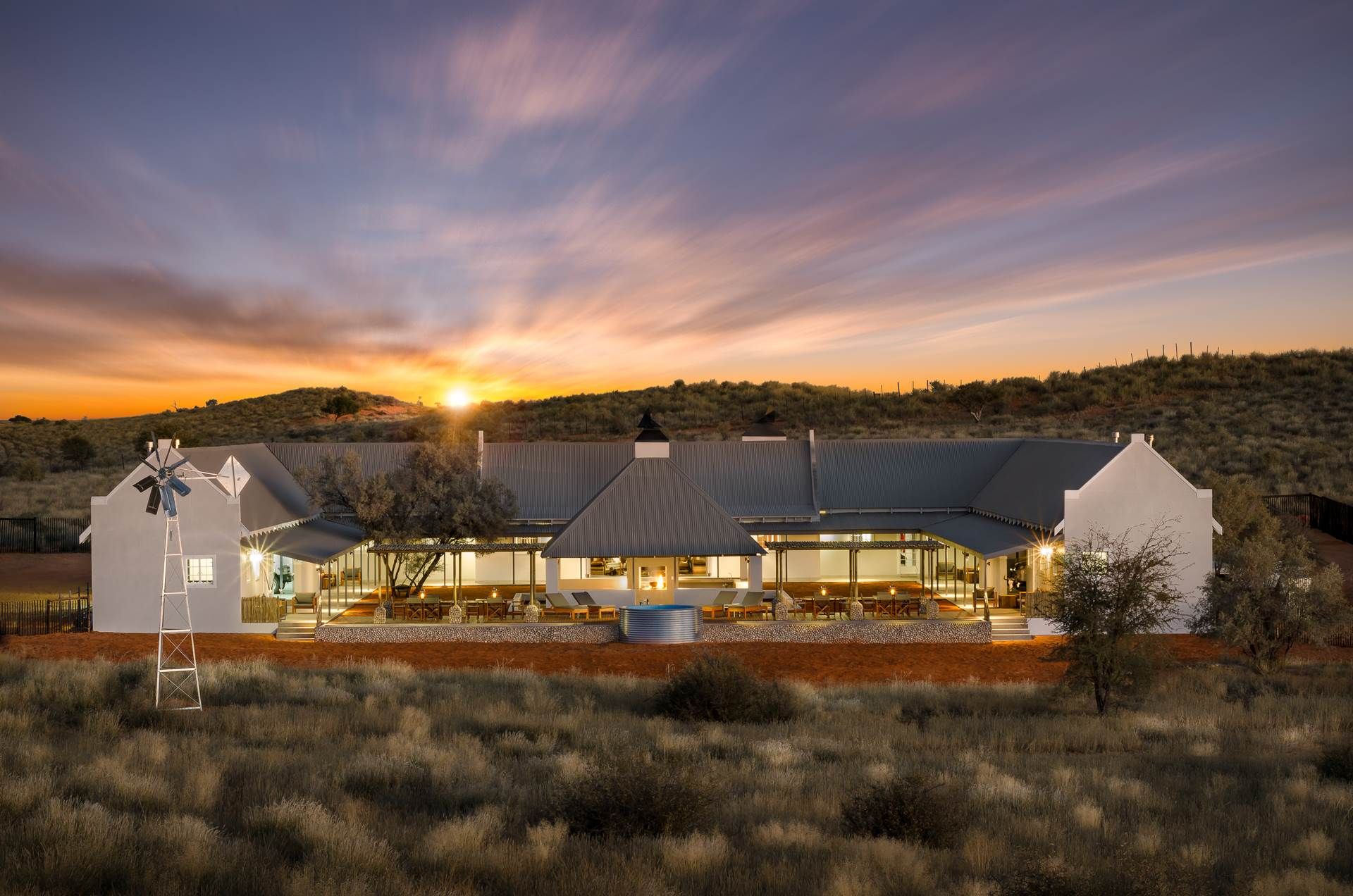
Kalahari Farmstead & Cottage
A nine-bedroom farmstead for twenty-six, with no lights and no traffic
146 km to the gateSelf-cateringGame viewing+1
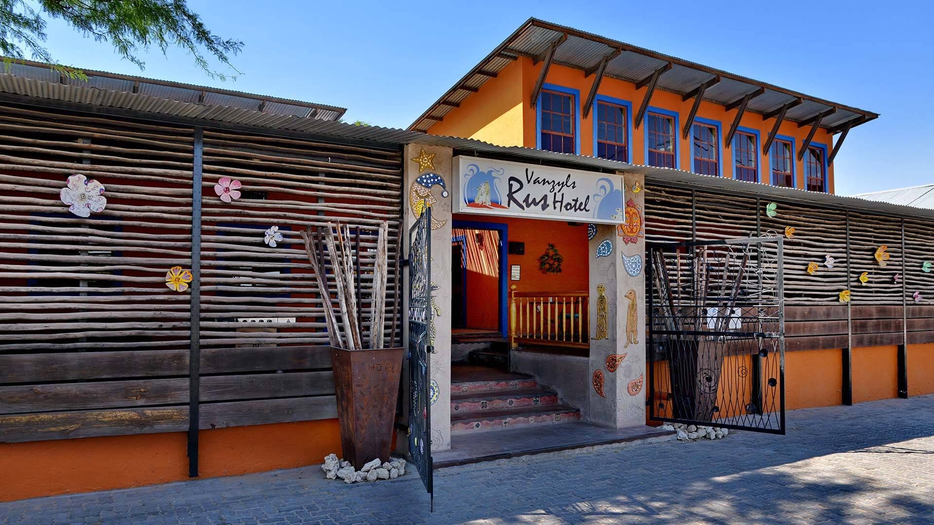
Van Zylsrus Hotel
Nine rooms, Kalahari cooking, and a bar that has heard everything
222 km to the gateA table to eat at
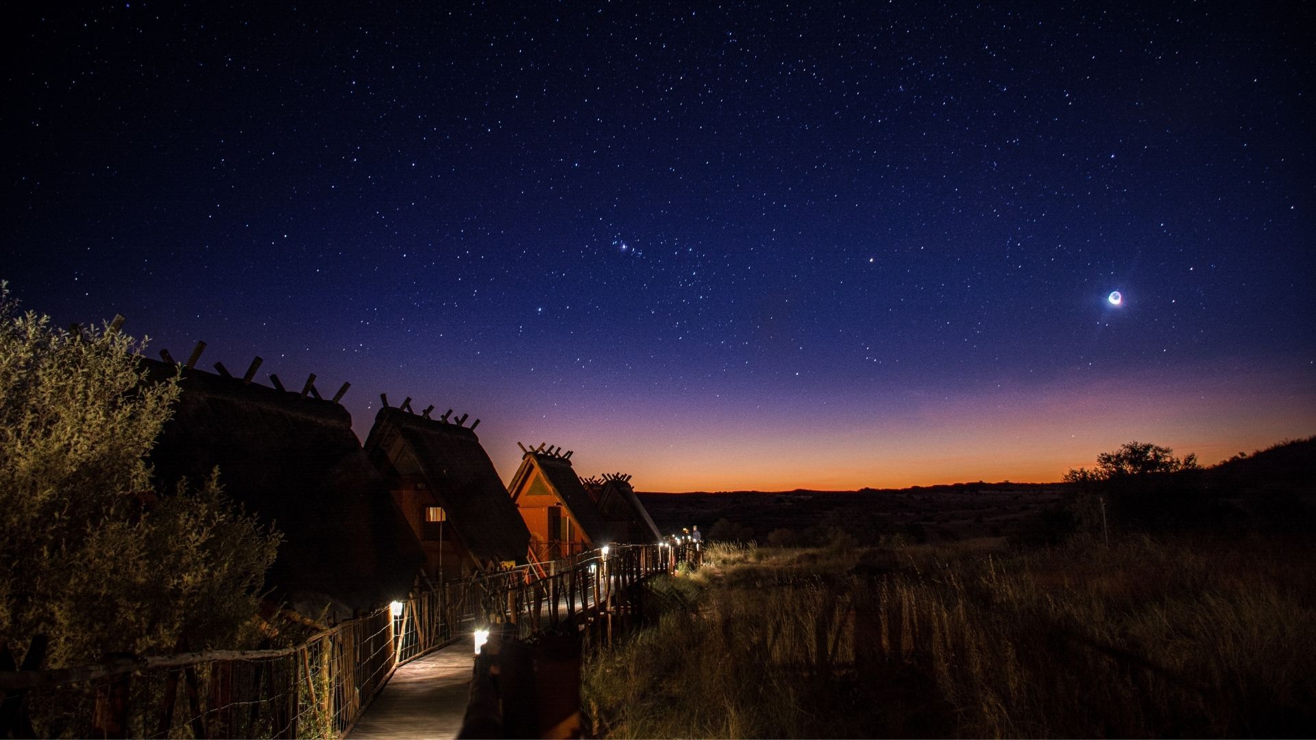
!Xaus Lodge
Twelve chalets deep inside the park, at the heart of Africa's only Dark Sky Sanctuary
65 km to the gateSelf-cateringGame viewing+2
It is said no two visits to the Kalahari are the same
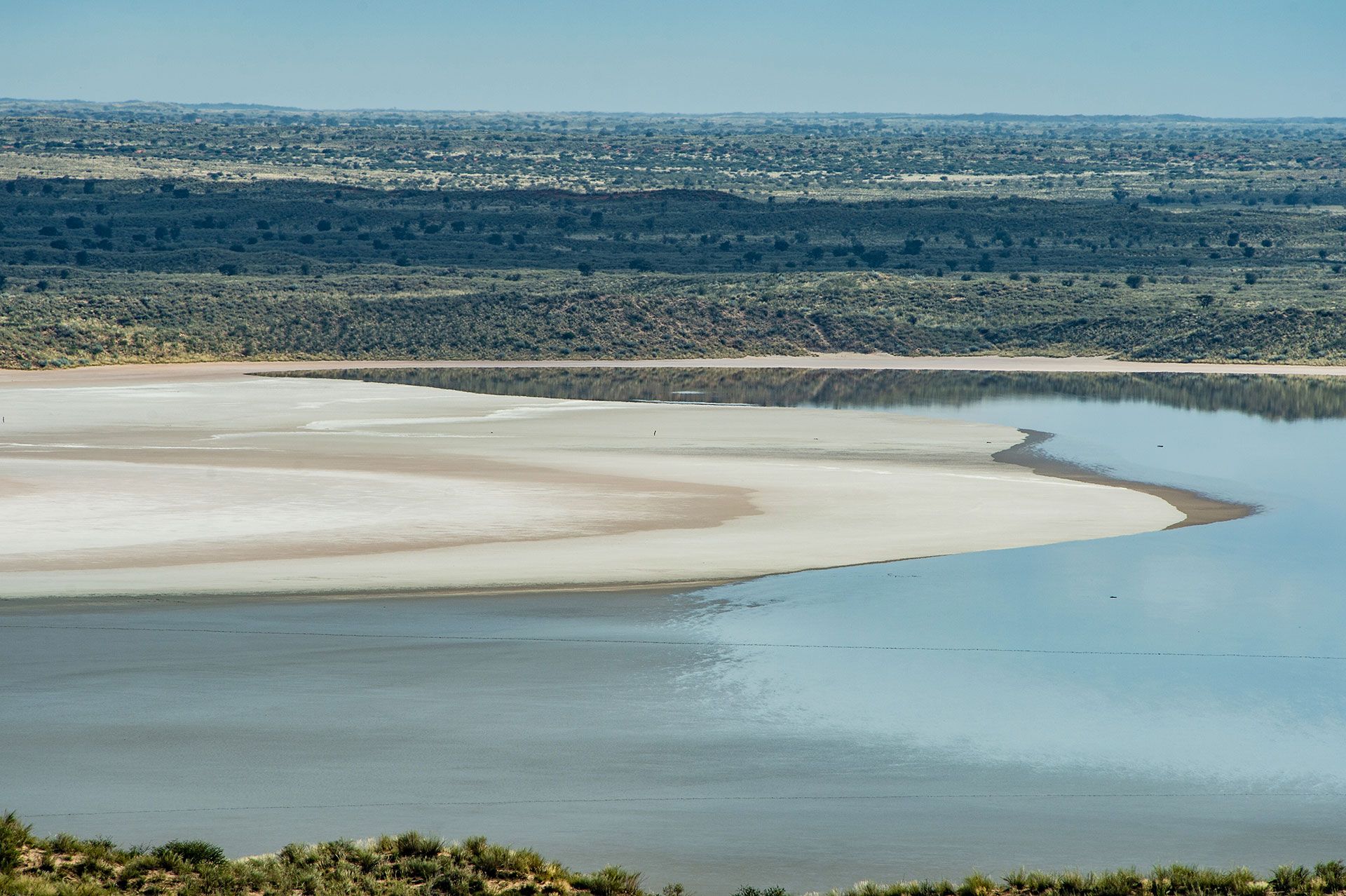
Floating In Salt Water Pools
Float in a salt pool without going to the Dead Sea
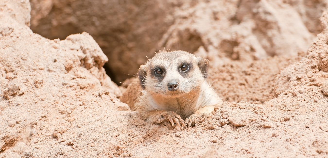
Kalahari Trails Meerkat Sanctuary
Walk out at dawn with a family of rescued meerkats
The R360
255 kilometres, and the last of it is the best
It starts 50 km out of Upington and runs north to the gates of the Kgalagadi. At Andriesvale the R31 cuts east to Van Zylsrus and west to Rietfontein and the Namibian border.
- 50 kmUpington to the start
- 180 kmTo Askham, the crossroads
- 255 kmTo the Twee Rivieren gate
Last light
And then the sun goes, and the sky does the rest
Whatever you booked — a grass hut, a room on a working farm, a tent on the edge of a pan — you get the same ceiling over it.
Night
Nobody arrives out here by accident
It is a long way from anywhere, which is most of the point. Work out the drive, then message the farm yourself — there is no booking desk in the middle.
- Upington to the start of the route50 km · about 40 minutesTar. The route proper begins where the R360 leaves the last of the irrigation.
- On to Askham180 km · about 2 hoursThe crossroads village. Fourteen of the thirty-nine are within a few kilometres of it.
- On to Andriesvale191 km · about 2 h 10Where the R31 crosses: east to Van Zylsrus, west to Rietfontein and the border.
- On to Twee Rivieren255 km · about 3 hoursThe main gate of the Kgalagadi. Everything north of it is park.
255 kmabout 3 hours, gate to gate
Three hours if you do not stop, and you will stop. Leave Upington by mid-afternoon so the best stretch is still in daylight.
Then pick who you stay with
- Johannesburg to Upington781 km · about 9 h 30The N14 almost the whole way, through Kuruman.
- Upington to the start of the route50 km · about 40 minutesThe R360 north. This is where the sand starts turning red.
- On to Twee Rivieren255 km · about 3 hoursAskham at 180, Andriesvale at 191, the park gate at 255.
1,036 kmabout 12 h 30 of driving
Two days rather than one. Sleeping on the first stretch of the route instead of in Upington puts you an hour further up the road and out of town.
Then pick who you stay with
- Cape Town to Upington829 km · about 9 h 30The N7 to Vanrhynsdorp, then the R27 through Calvinia and Kenhardt.
- Upington to the start of the route50 km · about 40 minutesThe R360 north out of the irrigation and into the sand.
- On to Twee Rivieren255 km · about 3 hoursAskham at 180, Andriesvale at 191, the park gate at 255.
1,084 kmabout 12 h 30 of driving
Also a two-day drive. The R27 through the Hantam is worth doing in daylight, so an early start beats a late finish.
Then pick who you stay with
- Upington Airport to the start of the route51 km · about 40 minutesThe airport sits about five kilometres out of town, already pointing north.
- On to Askham181 km · about 2 hoursMost of the thirty-nine are within an hour of here.
- On to Twee Rivieren256 km · about 3 hoursThe park gate, if the Kgalagadi itself is what you came for.
181 kmfrom the runway to Askham
Arrange a car before you land — there is no scheduled transport up the R360. Upington is a small airport, so check schedules with the airline rather than assuming a daily flight.
Then pick who you stay with
- Windhoek to Mata Mata525 km · about 6 h 30Routed on the C23 and the C15. Mata Mata is a border post as well as a park gate, so confirm the crossing rules and the hours with SANParks before you plan around it.
- Keetmanshoop to Rietfontein231 km · about 3 hoursThe B1, then district roads east. Rietfontein is the ordinary border post.
- Rietfontein to Askham88 km · about 1 h 20This one puts you on the route itself rather than inside the park.
Two ways ina park gate, or an ordinary border post
Rietfontein is the door that opens onto the association. Mata Mata opens onto the Kgalagadi. Ask about surfaces and border hours before you commit to either — these are district roads, not highways.
Then pick who you stay with
Driving estimates from OpenStreetMap. Ask your host about the last gravel turn-off.
Our own satellite map
Every place is on it, and every name is in the list.
Fourteen of them share the village of Askham, so those open as a ring.
Tap the map to open it full screen
The whole route
The same land, from four hundred kilometres up
All thirty-nine, laid against the actual R360. Tap a dot or a name for their photograph and a way to talk to them.
Scroll — the whole route comes up out of the dark