Upington
Where the tar starts and the Orange River is still in sight. Fuel, a supermarket, and the last big town before the sand.
Show me this on the map Map
Map
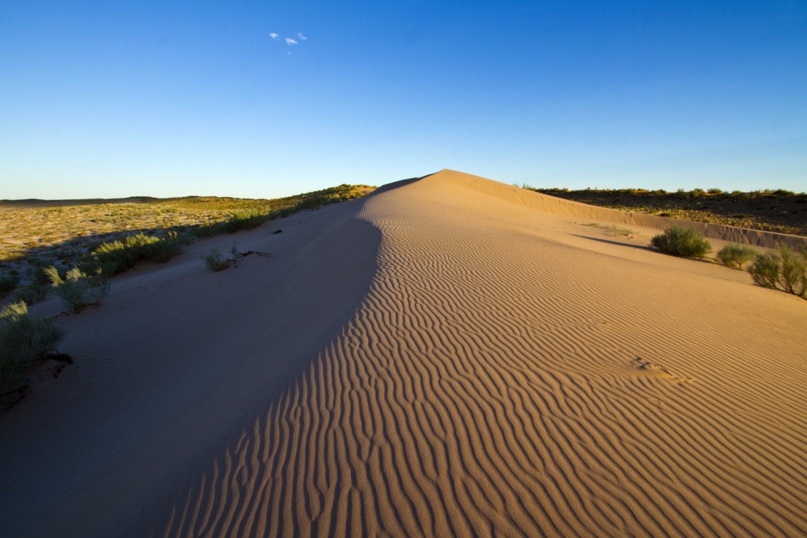
The route runs north of Upington into the toe-shaped protrusion of South Africa, all the way to the Namibian border. Once you are on the main dust-lining toward the gates of the Kgalagadi, a whole world of gravel awaits.
The surfaces. Tar most of the way; a few of the last turn-offs are sand. Your host will tell you which vehicle you need.
Where the tar starts and the Orange River is still in sight. Fuel, a supermarket, and the last big town before the sand.
Show me this on the mapThe route proper begins about 50 km out of Upington on the R360. The farm stall on this stretch is the only one on the whole road — Kalahari lamb, boerewors, biltong.
Roughly halfway to the gate. The country opens out, the sand starts turning, and the guest houses along here exist because nobody wants to arrive after dark.
Show me this on the mapThe crossroads village — a coffee shop, a school, and fourteen places to stay within a few kilometres of each other. They sit so close together that the map opens them into a ring so none is buried.
Where the R31 crosses the R360. East takes you to Van Zylsrus, west to Rietfontein and the Namibian border. The Khomani San farms are here, and so is the living museum.
Show me this on the mapThe main gate of the Kgalagadi Transfrontier Park, where the Nossob and the Auob riverbeds meet. Everything north of here is park.